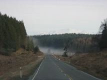
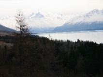
01_toLakeTekapo1
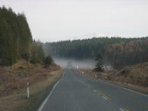
02_toLakeTekapo2
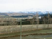
03_toLakeTekapo3
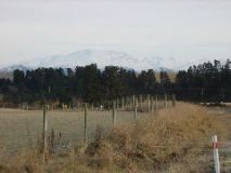
04_toLakeTekapo4
05_toLakeTekapo5
06_panoramic_outside_Farlie
07_panoramic_Burkes_Pass
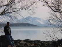
08_Lake_Tekapo1
09_Lake_Tekapo2
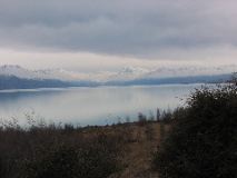
10_Lake_Tekapo3
11_Lake_Tekapo4
12_Lake_Tekapo5
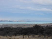
13_Panoramic_Pukaki
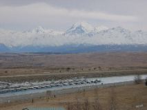
14_Salmon_Farm
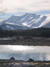
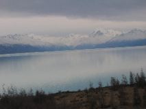
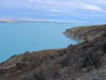
15_Lake_Pukaki
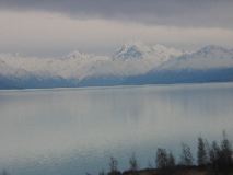
16_Pukaki_Cook1
17_Pukaki_Cook2
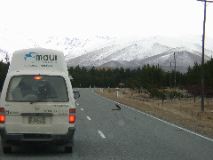
18_Big_Bird
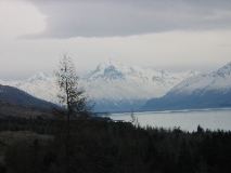
19_Mt_Cook1
20_Mt_Cook2
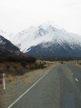
21_Cook_Natl_Park
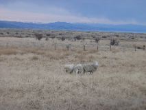
22_sheep
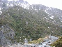
23_Hooker_hike1
24_Hooker_hike2
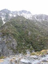
25_Hooker_hike3
26_Hooker_hike4
27_Hooker_hike5
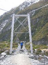
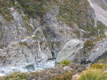
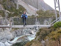
28_swingbridge1
29_from_bridge
30_Hooker_hike6
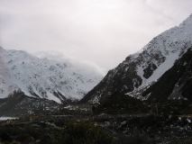
31_windy
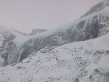
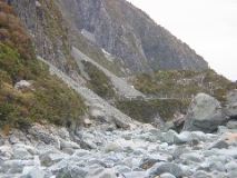
32_blue_ice1
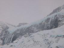
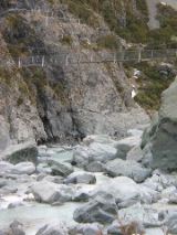
33_blue_ice2
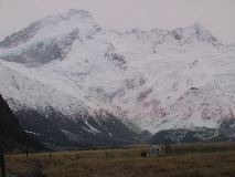
34_Cook_from_Hooker1
35_Cook_from_Hooker2
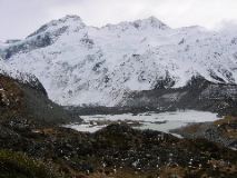
36_Cook_Hooker_Glacier1
37_Hooker_Glacier_360
38_Cook_Hooker_Glacier2
39_Cook
40_L_at_Hooker_Glacier
41_L_Cook
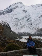
42_Us_Cook
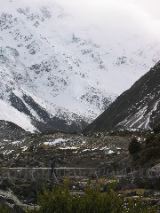
43_Hooker_Glacier
44_L_Hooker_dive
45_Hooker_hike6
46_Hooker_hike7
47_August_snowman
48_Hooker_hike8
49_swingbridge2
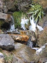
50_Falls_at_Hooker1
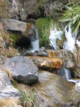
51_Falls_at_Hooker2
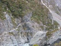
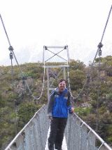
52_swingbridge3
53_swingbridge4
IMG_0177
IMG_0178
IMG_0179
IMG_0180
IMG_0181
IMG_0182
IMG_0183
IMG_0184
IMG_0185
IMG_0186
IMG_0187
IMG_0188
IMG_0189